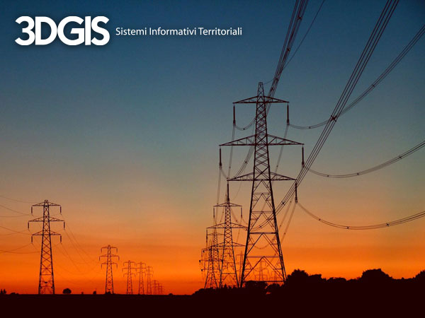
(Italiano) Smart grid: la chiave dell’efficienza energetica.
Pubblicato il 28 November 2012 da 3DGIS
(Italiano) Le smart grid sono reti elettriche intelligenti che coniugano l’utilizzo di tecnologie tradizionali con soluzioni digitali innovative, migliorando la gestione della rete rendendola flessibile grazie a uno scambio di informazioni più efficace.
Cityvu enables 3D support in utility network WebGISes
Pubblicato il 22 May 2012 da 3DGIS
Utility networks visualization is usually done from the top. This is not the optimal situation to evaluate depth and overlays. We always need more information about data spatiality and it becomes an hard constraint when talking about underground, with conducts, pipes and sinks. Our cities are somewhat violated by stratified underground networks and every maintenance […]
INSPIRE: Government Agencies implications
Pubblicato il 13 February 2012 da 3DGIS
Then introduction of the INSPIRE European regulamentation forces us to adopt different strategies as opposed to planned ones for government agencies spatial data management.
Open data advantages
Pubblicato il 17 January 2012 da 3DGIS
We are passing by a revolutionary time for the world digital strategy. We are, after years and years of pressure, moving towards geospatial database openness and a better existent databases interoperability. This phenomena is known as Open Data and it is founded on the fundamental principle, stating that data produced by Government Agencies should be open and […]
Smart apps: Mobile applications for GIS, data collection and multimedia
Pubblicato il 18 November 2011 da 3DGIS
Smart applications are tightly integrated mobile applications which help people to accomplish their work in a better and faster way. Our approach to mobile solutions is to employ powerful devices, like smart phones and tablets, for data management, data gathering and survey campaigns. In the field applications, including GIS related apps, could achieve a great […]
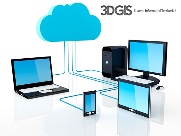
3DGIS is on the Cloud! GIS applied to cloud computing.
Pubblicato il 20 October 2011 da 3DGIS
Everybody is speaking about Cloud Computing. It’s the hype of the moment and, talking about it, commercial agents, even technical ones, are selling customers improbable solutions. Here at 3DGIS, we have adopted a different approach. Cloud computing serves us. We do not sell it to customers directly. They only get advantages from that incredible technological […]